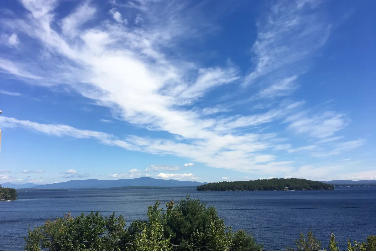
Lake Winnipesaukee Real Estate: A Buyer's Guide to Homes for Sale on NH's Biggest Lake
Lake Winnipesaukee Real Estate: A Buyer's Guide to Homes for Sale on NH's Biggest Lake
Lake Winnipesaukee is New Hampshire's largest lake: 44,586 acres of surface water, shared by eight towns - Alton, Center Harbor, Gilford, Laconia, Meredith, Moultonborough, Tuftonboro and Wolfeboro. If you're looking at Lake Winnipesaukee homes for sale, the three things that shape ownership most are which bay you're on, how you'll reach the water, and two state rules that govern shoreline work.
The lake and the eight towns on it
The Lake Winnipesaukee watershed project describes the lake at 44,586 acres, with roughly 240 miles of shoreline (that count includes islands over 5 acres). Eight towns are on the water: Moultonborough, Tuftonboro, Wolfeboro, Alton, Gilford, Laconia, Meredith and Center Harbor. You'll see other numbers online for shoreline and for the island count, and they don't agree, so I don't quote a single island total here. Here's the thing: "Winnipesaukee" can mean a dozen very different pieces of water.
The bays and harbors
The lake works like a collection of connected bays, and each has its own character. Meredith Bay runs from Center Harbor down toward the Weirs. Paugus Bay sits in Laconia. Moultonborough Bay is off Moultonborough. Wolfeboro Bay is at Wolfeboro, Alton Bay is at the lake's southern end, and Weirs Beach is the boardwalk district in Laconia. The M/S Mount Washington stops at Weirs Beach, Wolfeboro, Meredith, Alton Bay and Center Harbor, a handy way to see several shorelines from the water before you book showings.
Getting on the water: public access
Not every buyer needs their own frontage. New Hampshire Fish and Game runs public boat ramps around the lake, including a state launch at the south end of Alton Bay. Ellacoya State Park in Gilford sits on the lake's southwest shore with a 600-foot sandy beach, and the state lists its beach as seasonal, so check hours and fees before you go.
Boating rules every owner should know
Two statutes are worth reading yourself. Under RSA 270-D:10, you need a New Hampshire boating safety education certificate to operate a motorized vessel with an engine over 25 horsepower on public waters. The certificate is for people 16 and older and is valid for life (RSA 270-D:13), and you have to carry it (RSA 270-D:11). Lake Winnipesaukee also has its own speed rule in RSA 270-D:2, X: 45 miles per hour during the day, and 30 miles per hour from half an hour after sunset to half an hour before sunrise. Those limits are written as prima facie evidence of an unreasonable speed, so conditions can still make a lower speed the legal one. All vessels must also keep to headway speed within 150 feet of shore, docks, swimmers, moorings and other vessels.
Water quality and invasive species
The Winnipesaukee Gateway describes the lake's overall quality as good and even pristine, while noting that several indicators have trended the wrong way over the past decade, including algal blooms and the spread of milfoil. NHDES's infested-waterbody list (updated November 2025) shows the lake listed for variable milfoil, first in 1965, plus water violet (2020), brittle naiad (2023) and spiny water flea (2023). For a buyer, that means water quality is an ongoing stewardship topic, so ask what the shoreline owner or association does about it.
Ice-out and the Mount Washington
Ice-out is the local sign of spring. Pilots at Emerson Aviation in Gilford make the official call, and it's defined as the lake being clear enough for the M/S Mount Washington to reach all five of her ports. The date moves a lot from year to year. News accounts put ice-out on April 12 in 2026 and give March 17, 2024 as the earliest in the record, against a historical pattern of mid- to late April. The first Mount Washington was launched in 1872, and the current ship winters in Center Harbor.
What buyers should know
Two rules matter most if you're buying waterfront. First, the Shoreland Water Quality Protection Act (RSA 483-B) covers the protected shoreland, which is the land within 250 feet of the water. Inside it, the law sets a 50-foot setback for primary buildings, a 50-foot waterfront buffer with vegetation rules, a woodland buffer out to 150 feet, and a general cap of 30 percent impervious surface unless an engineered stormwater system is in place. Smaller projects may qualify for a permit by notification; larger ones need a full permit from NHDES. Second, RSA 482-A requires an NHDES permit to excavate, fill, dredge or build structures in or on a bank, flat, marsh or swamp adjacent to state waters, and docks are the common example.
So before you fall for a view, ask what is already permitted and what you'd need to add. Dock rights, moorings and shared beach rights are not interchangeable, and a home can be a year-round house, a seasonal camp, or a condo with shared waterfront, so confirm what actually conveys. I'd also ask the town about septic and any shoreland files on the lot.
FAQ: Lake Winnipesaukee real estate
How big is Lake Winnipesaukee? The Lake Winnipesaukee Gateway puts it at 44,586 acres with about 240 miles of shoreline, making it the largest freshwater body in New Hampshire.
Which towns are on Lake Winnipesaukee? Alton, Center Harbor, Gilford, Laconia, Meredith, Moultonborough, Tuftonboro and Wolfeboro.
Do I need a license to drive a boat on Winnipesaukee? New Hampshire requires a boating safety education certificate for anyone operating a motorized vessel over 25 horsepower on public waters, per RSA 270-D:10.
What is the speed limit on Lake Winnipesaukee? RSA 270-D:2, X sets 45 miles per hour by day and 30 miles per hour at night, with headway speed within 150 feet of shore, docks and swimmers.
Can I build a dock or add to a waterfront house? Probably, but expect state review. Work near the water can trigger a Shoreland Act permit (RSA 483-B) and a wetlands permit (RSA 482-A), so check with NHDES first.
Thinking about Lake Winnipesaukee?
If Winnipesaukee is on your list, whether you're buying, selling or just curious how a particular bay lives, I'm always glad to talk it through. No pressure, and I'll tell you honestly what I know and what I'd check.
Straight to the source: America.gov
America.gov is the government's newest one-stop site, meant to make all of our lives a little easier. Ask a question in plain English and it answers from official federal, state and local agency websites. It's free, with no ads and no account. Here are direct links to answers on this post's topics:
Buyers: How do I find out if a home is in a flood zone? →
Private wells: How should I test my private well water in New Hampshire? →
Veterans: How do I get a VA home loan? →
America.gov is brand new and still growing, so links and answers can change. It uses AI, so check the official source links it shows. We'll keep giving you direct links the best we can and keep them up to date, so check back for changes.
Cami Navoy - Cami Navoy & Associates, Keller Williams Lakes & Mountains Realty, Meredith, NH